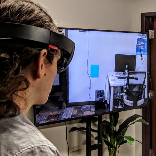
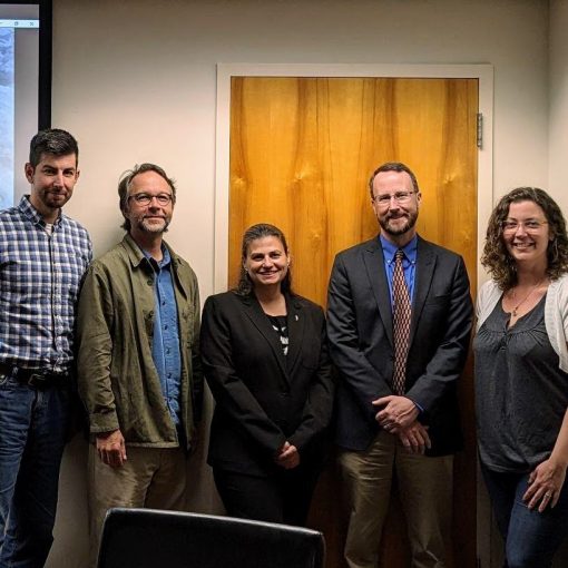
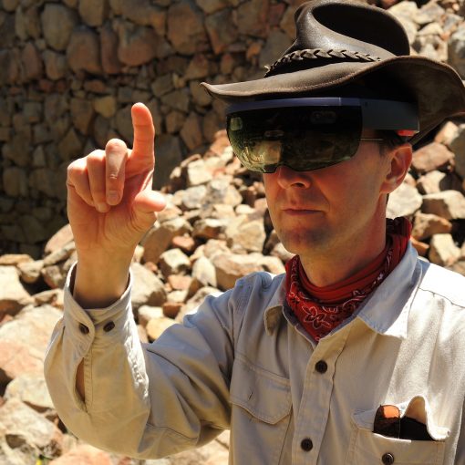
Hi, my name is R. Mike Livingston. I’ve jumped into being a part of the team as a UI/UX designer and programmer back in February of this year, and I’d like to share with you a few updates to the project at this point.
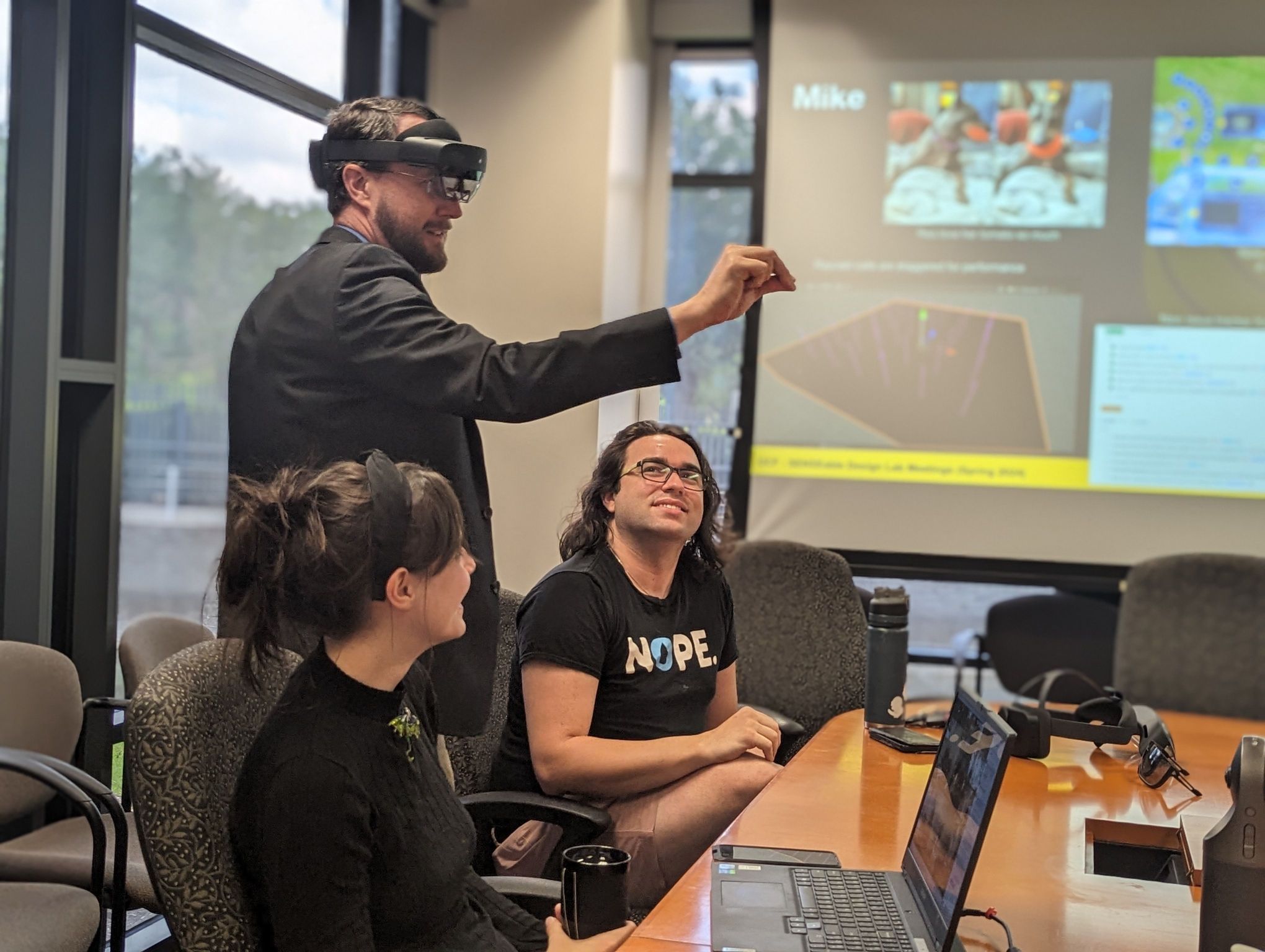

You can find me on my blog, https://rmikelivingstondesign.wordpress.com. Enough about me, let me show you a bit of what we have been up to.
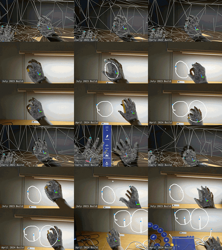
My first major task was important – making it more responsive. This ended up taking about a month of pouring through the scripts, noting the various ways it interconnects, and slowly building out a replacement unified management system. As I went along I also significantly optimized the program; optimization wasn’t my primary goal, so I didn’t go out of my way to optimize unless it was directly connected to the pinch-detection systems I was working on, but I made great strides all the same, gaining an average of 10 to 50 frames a second on average, depending on what is on screen!
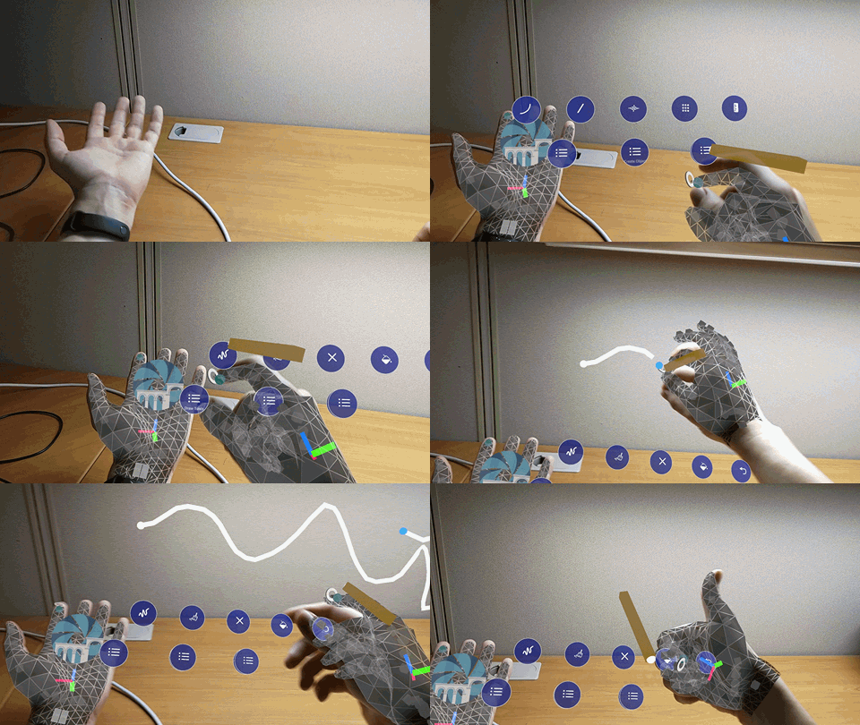
Being able to consistently draw does a lot for the usability of the program. Another important update has been to the menu – making it nested, more compact, and have better tracking. This was important for members of the team with shorter arms, who couldn’t easily interact with the arm-mounted menu before this update.
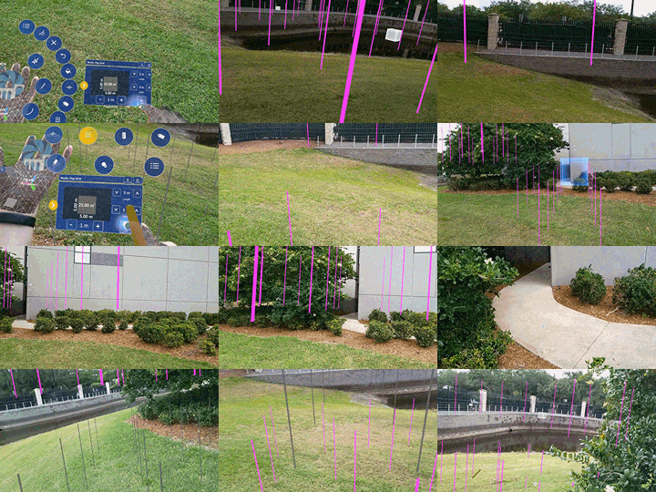
The following was a highly requested feature from the team; while working in the field, digging at a site, they’d like to have pegs in the ground marking dig zones. The pegs existed, but didn’t really do a good job of taking the environment into account, particularly on slopes. This update fixed that. As the user walks around the environment, the mapping data from the hololense updates where the pegs are supposed to sit – now, they follow the curvature of a hill, rather than sitting uselessly in the air!
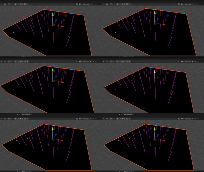
What’s happening is, as the hololense starts to map out the space around the user, the individual pegs run checks to see if ground has been found underneath them yet. What’s particularly fun about this is they don’t do it constantly, or even all at once. The ground checks of the pegs are staggered – spaced out over time, so the system doesn’t lag. Once again, the feature is now both more functional AND performant!!! I personally think this demo scene is quite fun to watch, with purple lines procedurally (and in an order) moving up and down to follow the moving “ground”.
This has not been an exhaustive list of the features developed for this project; just a few of the more photogenic ones. Currently, the big thing being worked on has to do with locational data; implementing both GPS, and a QR code system to save and position drawings. I’m certain my next update will have some pretty moving pictures to show you here when it’s ready. Until then, take care!
