
New Trail Maps Help Hikers Find Their Way
Visitors to the UCF natural lands will have an easier time finding their way through the campus’s extensive, 13.5-mile nature trail system thanks to our recently upgraded maps, kiosks and trail markers.
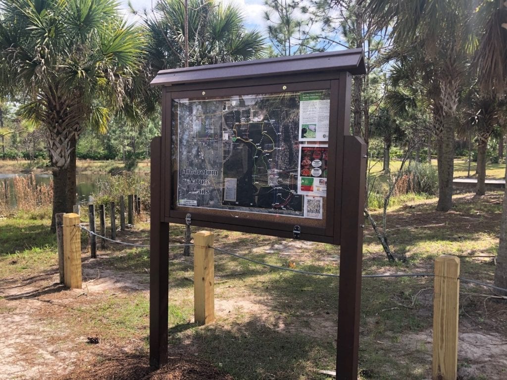
The main trail kiosks are located near the Timothy Newman Nature Pavilion on Gemini Blvd., behind the softball stadium parking lot, and also behind the Tower apartments on East Plaza Drive and near Lake Clair. The trail markers are mounted on three-foot posts throughout the system at trail junctions. All of them, are uniquely numbered and contain geo-location as well as emergency contact information.
These markers are meant to assist you finding your way using the maps, or in the case of an emergency, to tell emergency responders exactly where you are located for efficient response. Trail markers and kiosks were installed to make hiking on campus care free and easy for users. Nobody wants to get lost in the woods, and even for those who do the trail maps and markers will help you find your way back.
An even more helpful feature allows hikers to pull up the campus trail map and maker location on their cell phones. Additionally, the user can access an online version of the trail map on their cell phones by scanning the QR code posted in the kiosks or on the Arboretum website. Hikers can then follow exactly where they are on the trails. The online map can be accessed using the web browser on your phone.
You can take the map for a spin by clicking on this link to the Online UCF Trail Map, and you can access the QR code and view the maps that are installed in the kiosks by visiting the Arboretum Trail Maps webpage. Thanks to Amanda Lindsey, who is a biologist on the natural resource team, for making our new trail maps, and Brent Saulsbury for putting up the kiosks and trail markers. Please stay on the trail and happy hiking!