
GIS Academy Gives Teachers Hands-On Experience
By Bo Yang, Ph.D.
Citizen Science GIS Teacher Academy successfully taught teachers about maps, apps and drones at a special event at UCF’s Research Park on Feb. 2.
In the first session on Geospatial Technologies for Community Engagement, teachers received an overview of some of the ways to engage students with these technologies, and challenged teachers to brainstorm creative uses of these technologies in their own fifth-eighth grade classrooms.
 The second session focused on interactive mapping. The class covered mapping a sense of place along the coast, and about a mobile mapping application developed by Citizen Science GIS to map sustainable features of their own schools. Many teachers contributed their own data to the citizen science projects centered on the coast of Florida.
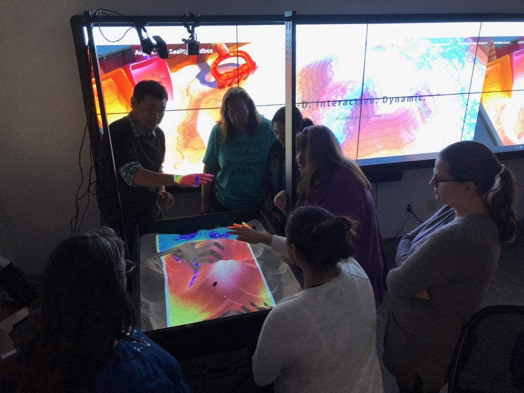
The next session focused on sandbox science. The Citizen Science GIS group built a 40-inch by 30-inch Augmented Reality (AR) sandbox connected to 3D visualizations that project elevation, water and topography over kinetic sand. Teachers saw how projected images change as students mold sand to create a virtual landscape, teaching then about elevation, contours, erosion and water flow dynamics.
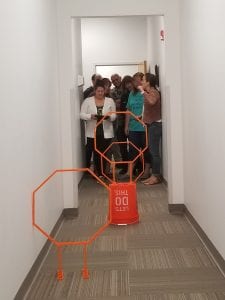
Teachers also learned to fly Parrot Mambo mini-drones as they navigated through an indoor, simulated, natural disaster event along the Florida coast. Teachers learned the basics of drone flying, image interpretation and drone education.
At the end, teachers shared their ideas for implementing geospatial technologies in the K-12 classroom setting through the Citizen Science GIS Maps, Apps and Drones Tour and GeoBus (coming in late 2019). The conversations focused on opportunities and challenges for bringing GIS and drones into the classroom, and how the Citizen Science GIS team can support efforts during the school year. 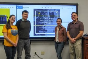
The teacher workshop was part of the broader impacts of three National Science Foundation awards. The event was co-facilitated by Timothy Hawthorne, Ph.D., Hannah Torres, Ph.D., Bo Yang, Ph.D., Elise Lorenzo and Kirsten Bouck from the Citizen Science GIS team. Participating teachers received a Parrot Mambo mini-drone (funded by NSF grants) to use in their classrooms.
Due to the overwhelming demand for this workshop, a second workshop will be hosted later this spring.