
GIS Day 2019 Introduces New Careers to Central Florida K-12 Students
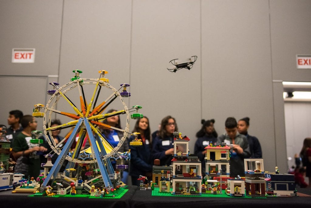
The Pegasus Ballroom was buzzing with drones and excited conversations Thursday for GIS Day 2019.
GIS Day presents students with hands-on activities that teach them about GIS (geographic information system) mapping, drones and coding for apps.
“Students use these apps and services every day, but they don’t realize that they are using GIS. We’re using these eye-opening moments as an introduction to the many potential career opportunities in this industry,” said Associate Professor Tim Hawthorne, Ph.D., founding research director of event host Citizen Science GIS.
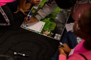 More than 300 students from schools across Central Florida traveled between stations to learn about different aspects of satellite mapping. This included flying mini-drones; block coding with Sphero robots; topography with an augmented reality sandbox; walking across a large map of Florida; using map apps; and virtual reality goggles.
While students were inspired, teachers appreciated seeing their classroom instruction come to life.
“Currently, we are working with coding, and they love coding and drones, so I thought it would be neat to take them here and learn more about it,” shared Lindsey Pulse, an eighth-grade teacher at Mater Palms Academy.
Another visitor was Carley Lovorn, regional director for National Geographic’s Educator Network. She has heard big things coming out of UCF, and the Citizen Science GIS program in particular. As she watched students with big smiles engage in different activities, Lovorn offered high praise.
“These kids are digital natives, and they really are going to drive innovation moving forward. So we want to start them out learning from an early age, to really empower and encourage them,” Lovorn said. 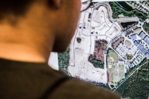
The stations on hand Thursday will be mobile in the near future with the GeoBus. When complete, the 40-foot reclaimed city bus will boast a mobile science lab that will visit K-12 schools in Florida to teach students about geospatial technology, geography and mapping.
Dave Drazen, chief executive officer of Orlando’s GeoTel Communications, is one of several sponsors supporting GeoBus and making it a reality. Like Lovorn, Drazen was on hand at GIS Day to witness the impact of GIS education on students.
“GeoBus has come a long way, but they can’t do it on their own. For this particular project, they will have to rely upon outside funding and sources to come in and lift up this bus … and sustain it for the long term,” Drazen said. “That’s what we want to help with.”