Posts Tagged ‘Esri’
-
Kids ‘Drone’ Up Interest in Citizen Science GIS
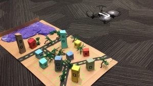
by Rachel Williams More than 350 4th-12th grade students, their teachers and parents Wednesday saw firsthand at UCF how apps, maps and drones are used in geographic information systems, an interdisciplinary field that captures, analyzes and presents geographic data in meaningful ways. Students flew mini drones over a model town to simulate how GIS professionals fly […]
-
Citizen Science GIS Team Awarded for Spatial Storytelling
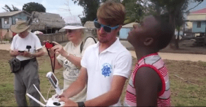
By Zenaida Gonzalez Kotala Esri, a leader in spatial analytics, recognized a team from the University of Central Florida with its Special Achievement in GIS Award during the annual Esri User Conference last week. Citizen Science GIS, a collaborative effort led by UCF geographic information system Assistant Professor Tim Hawthorne, was among the 180 selected […]


