Citizen Science GIS Team Unites Community Using Drones
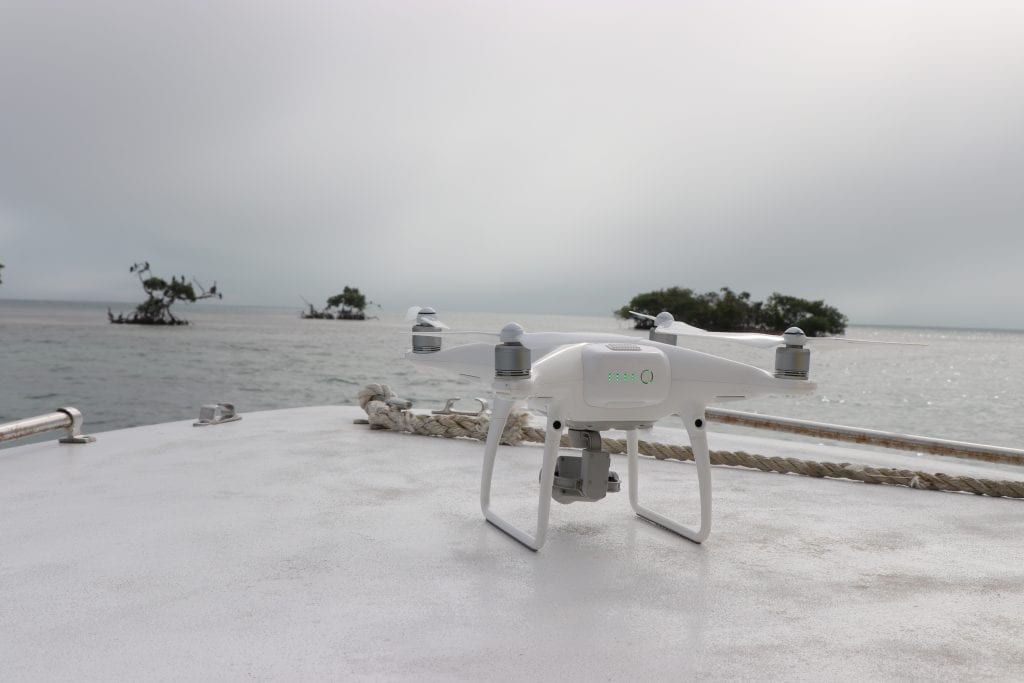
 UCF’s Citizen Science GIS team has spent the last few years using drone technology to map the coastline and local island communities of Belize. Led by UCF’s assistant professor, Timothy L. Hawthorne, Ph.D., the Citizen Science GIS team aims to strengthen the connections between science and society through geographic information systems and drones. As an undergraduate, you can also have this experience. To learn more, visit http://www.citizensciencegis.org/ucf-reu-site/; or read the story below.
Now, their work has been highlighted on the country’s national morning show program, Open Your Eyes.
“Being on Open Your Eyes was such a wonderful experience,” said Lain Graham, a Citizen Science GIS team member and sociology Ph.D. student at UCF. “It was great to reach a broad audience. Any time we’re invited to connect with people to demonstrate the potential of this technology, the imagery produced from it and its multitude of applications addressing real-world problems, we are delighted to do so.”
 The Citizen Science GIS team uses a community-driven approach to data, where innovative discoveries develop when diverse groups of people come together around science.
“Our mission, which is shared with our partners in Belize, is to use science and technology to connect people to one another, and to their environment, and inspire change and innovation,” Graham said. “We hope to build a smarter, more environmentally conscious world.”
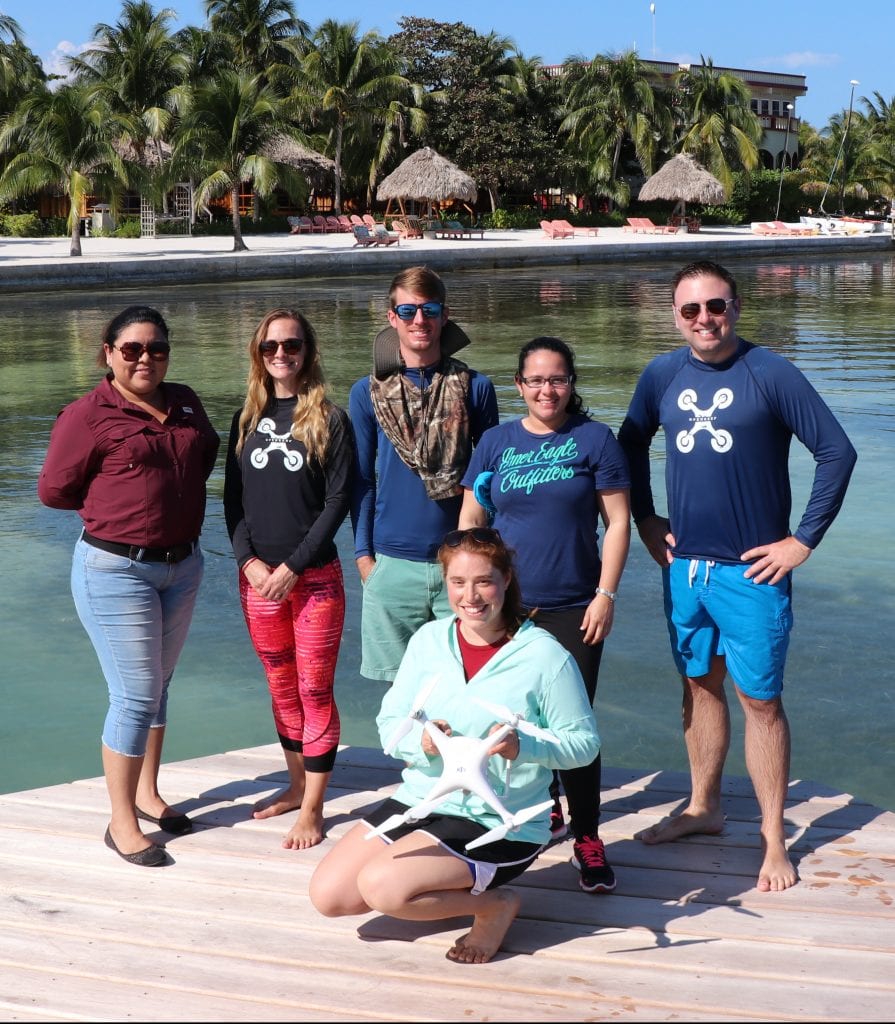
While in Belize, the team collaborated with Coastal Zone Management Authority and Institute (CZMAI) to host training events within the community.
“We co-hosted a drone training session which brought a number of representatives from various agencies together to learn more about drone technology, logistics and regulations,” Graham said. “We had a conversation about how we use drone imagery in our research, and how these lessons might apply to others interested in using drones as a tool in their organization.”
The event included a hands-on lesson in a local park to demonstrate how to set up and fly the drones, but that wasn’t all. The team also worked to introduce the next generation to GIS, maps, apps and drones by bringing hands-on activities to children in the local area.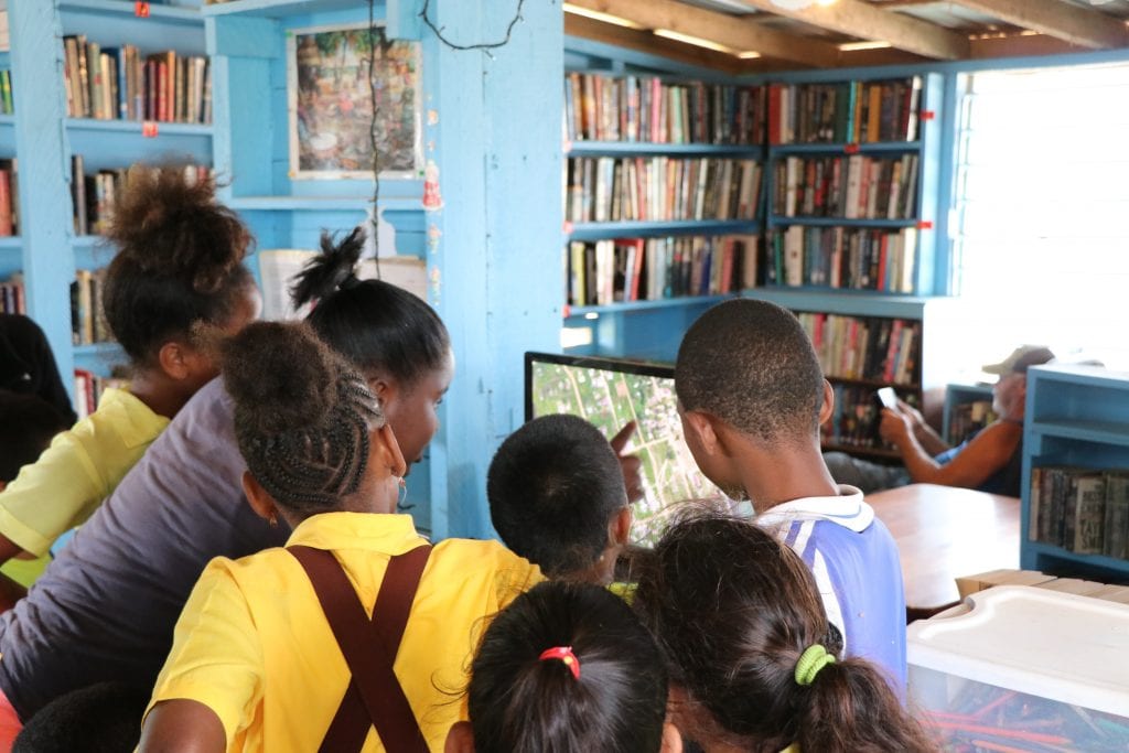
“Our goal is to nurture an interest in science, math, technology and the environment,” Graham said. “We put students in the pilot seat, and they learn how to operate mini-drones.”
The activities encourage students of all levels to think critically, not only about the actual process of flying the drone, but also about the interpretation and analysis of the data they collected.
“These exercises simulate the drone mapping that we do in our own research,” Graham said.
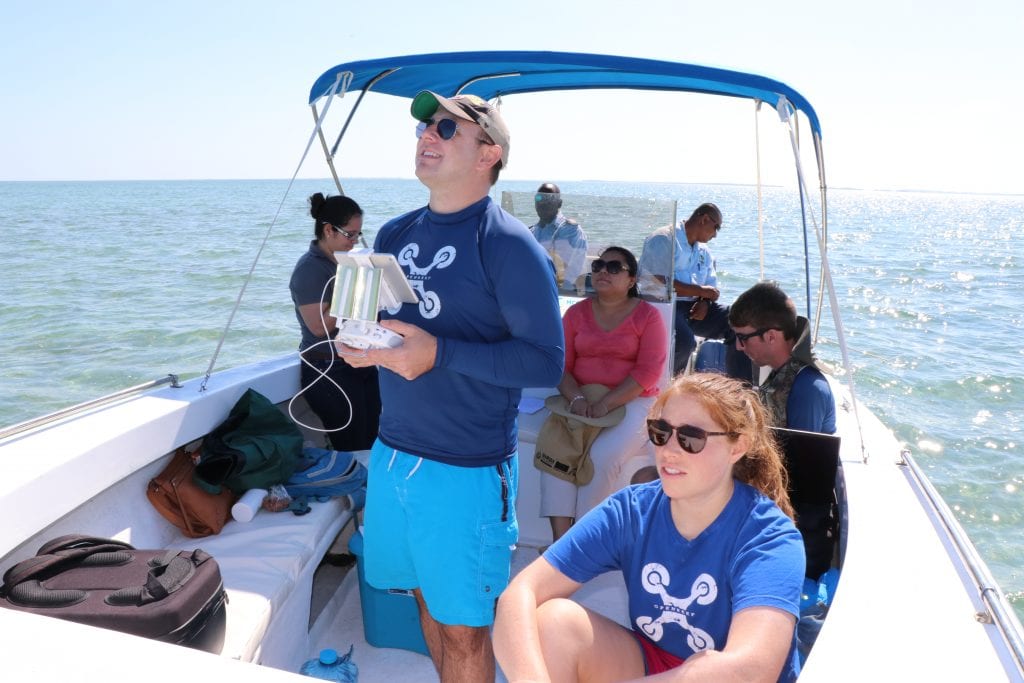
The drone mapping technology provides the team with a near-instantaneous aerial perspective, something which can be crucial to emergency management and decision-makers in the midst of a disaster. The images the team collects also create a data baseline, establishing a means of comparison after any disaster strikes.
Before the Citizen Science GIS team arrived, Belize lacked high-resolution and openly-available imagery of its most vulnerable islands. They had no baseline of information available to assess change over time. The team’s work in mapping the area helps build a database of imagery that can be called upon in emergency situations, or for research.
“Mapping the islands and some of the coastal communities in Belize with the drones has allowed us to do two things,” Graham said. “The first is to provide baseline data from which we can conduct terrestrial surveys on the ground, and second is to provide first-of-its-kind data in the areas we are working, data which is valuable baseline information from which change can be measured over time.”
The collected images are then able to be shared for free with the community. Open-data sites allow scientists and community members to share their own processed imagery, connecting data into spatial stories spanning multiple communities. Ending the data scarcity of island imagery in Belize is a team effort.
“Building data from the ground up, with community members, has been an incredibly rewarding process,” Graham said. “I know that we have all learned a lot from our relatively short time working in Belize over the past six years.”
If you’d like to have a research experience of your own, there’s an opportunity for undergraduate students now! Check it out.