
The India Center Hosts Second Distinguished Lecture on Space Collaboration and Research
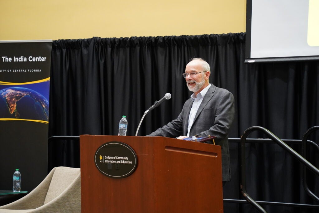
Project Scientist Paul Rosen shared how the NISAR satellite mission is transforming Earth science while demonstrating the impact of international collaboration in space research.
Written by: Emily Dougherty | Published: March 24, 2026
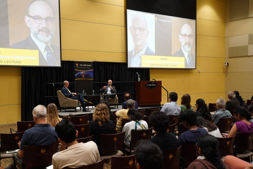
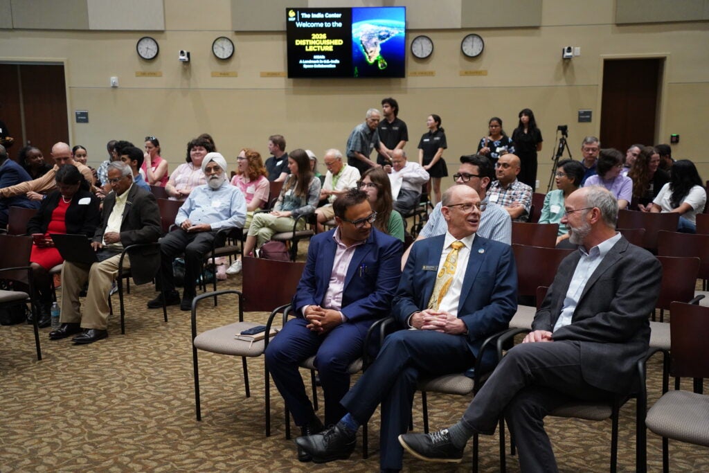
The India Center welcomed students, faculty and community members for its second annual Distinguished Lecture, an event highlighting global collaboration, scientific discovery and the growing partnership between the United States and India.
The lecture, given by NISAR Project Scientist Paul Rosen, explored how a joint mission between NASA and the Indian Space Research Organization (ISRO) called NASA-ISRO Synthetic Aperture Radar (NISAR) represents a new model for international cooperation in space, bringing together scientific expertise, engineering innovation and shared goals to better understand the planet. Organizers emphasized that the event also reflects UCF’s commitment to interdisciplinary research and global partnerships.
“This event celebrates the spirit of partnership, scientific discovery and shared purpose that defines The India Center,” says Yogesh Joshi, director of The India Center. “We are gathered here to explore how international collaboration between two of the world’s leading democracies can drive innovation, foster development and help solve the challenges of our time.”
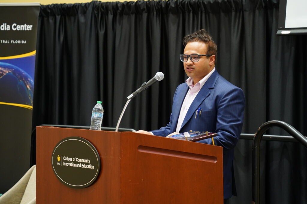
The Distinguished Lecture series was created to connect UCF’s research strengths with global issues, and this year’s focus on space science aligned with the university’s growing role in aerospace research. The event was hosted in partnership with the UCF Space Council and the Florida Space Institute, reflecting a broader effort to build collaborations both within the university and with international partners.
Rosen described the satellite as a landmark achievement in both scale and scope. The mission was designed to monitor Earth’s surface with unprecedented precision, allowing scientists to track changes in land, ice and ecosystems across the globe.
“It’s a landmark in scope, in scale and in what we’re trying to accomplish.” Rosen says. “Sometimes with projects like this, you look back and ask, did we really do that?”
NISAR uses advanced radar technology capable of imaging Earth’s surface day and night and through clouds, making it possible to detect subtle changes in the ground down to millimeter-level movement. According to Rosen, the satellite will help scientists study earthquakes, volcanic activity, melting ice sheets, deforestation and water systems in ways that were not previously possible.
“We want to cover the Earth because many of the things we study are unpredictable,” Rosen says. “You don’t know where earthquakes will happen, where deforestation will occur or where the land will shift, so the system was designed to observe the entire planet on a regular basis.”
The mission has been more than a decade in development and required close coordination between teams on opposite sides of the world. Engineers and scientists from NASA and ISRO worked together on everything from instrument design to data processing, often navigating differences in technical approaches and development styles.
“We had very different cultures in how we build missions,” Rosen says. “NASA is very requirements-driven and process-oriented, while ISRO has a more agile style. We had to find ways to meet both sets of expectations, and that took patience and a lot of trust.”
One of the most complex parts of the project involved integrating two separate radar systems, one built in the United States and one in India, onto a single spacecraft. The collaboration required years of testing, rehearsals and joint workshops to ensure the technology would function correctly once in orbit.
“We rehearsed everything many times,” Rosen says. “It may have seemed excessive, but that preparation is why the deployment and commissioning of the spacecraft went so smoothly.”
The satellite successfully launched in 2025, marking a major milestone for both countries. Since then, the mission has already begun collecting data that reveal detailed images of Earth’s surface, including measurements of land deformation, flooding patterns and ice movement in polar regions.
Rosen noted that the mission’s impact extends beyond science, providing openly available data that can be used by researchers, policymakers and communities around the world.
“The data are free and open, and they don’t lie,” Rosen says. “That means people can use them to understand environmental change, manage resources and make better decisions.”
He also emphasized that the mission would not have been possible without the partnership between the United States and India.
“This simply would not have happened without ISRO,” Rosen says. “They were bold enough to take this on with us, and together we built something that neither country could have done alone.”