-
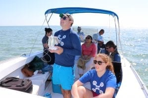
Citizen Science GIS Team Unites Community Using Drones
UCF’s Citizen Science GIS team has spent the last few years using drone technology to map the coastline and local island communities of Belize. Led by UCF’s assistant professor, Timothy L. Hawthorne, Ph.D., the Citizen Science GIS team aims to strengthen the connections between science and society through geographic information systems and drones. As an […]
-
Open Reef Drones Take on Environmental Conservation
Geographic information systems (GIS), and related geospatial technologies like drones, are being used to do wonders for our planet. With the growing issue of climate change and over-development, University of Central Florida researchers have taken the initiative to protect the areas with the greatest risks: islands and coastal areas. UCF Assistant Professor of GIS in […]
-
The Coordinates of Success
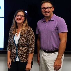
Amanda Ashby, a University of Central Florida senior majoring in sociology, was thrilled when she was awarded a student assistantship for the annual Esri FedGIS Conference. The conference, held this year in Washington, DC, focuses on the high-tech field of geographic information systems, or GIS. GIS is a system that is designed to capture, store, […]


