-
Citizen Science GIS Team Unites Community Using Drones
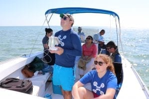
UCF’s Citizen Science GIS team has spent the last few years using drone technology to map the coastline and local island communities of Belize. Led by UCF’s assistant professor, Timothy L. Hawthorne, Ph.D., the Citizen Science GIS team aims to strengthen the connections between science and society through geographic information systems and drones. As an […]
-
Sociology Students Impress at Geographers Conference
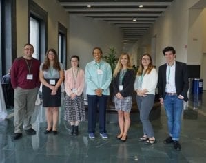
University of Central Florida sociology students presented their remarkable research at the American Association of Geographers Conference in Boston, Massachusetts, held in April, 2017. Geographers, Geographic Information Systems (GIS) specialists, environmental scientists and more gather at the annual conference for the latest in research and applications in geography, sustainability and GIScience. Sociology students Kenisha Johnson, […]
-
Open Reef Drones Take on Environmental Conservation
Geographic information systems (GIS), and related geospatial technologies like drones, are being used to do wonders for our planet. With the growing issue of climate change and over-development, University of Central Florida researchers have taken the initiative to protect the areas with the greatest risks: islands and coastal areas. UCF Assistant Professor of GIS in […]
-
GIS REU Site Wraps Up Successful Start
The first ever UCF Geographic Information Systems Research Experience for Undergraduates (REU) was a huge success this summer. The international REU site, held in Orlando and Belize, was funded by the National Science Foundation. The program hosted eight competitive undergraduate students from across the country. The eight scholars, including one UCF sociology student Amanda Ashby, […]


