-
Renewed Funding Opens Three More Years Of Citizen Science in Belize
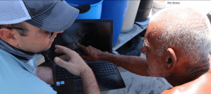
Impactful community research in rural Belize will continue for another three years thanks to renewed funding from the National Science Foundation. The $465,000 grant supports fully funded research experiences for eight undergraduate students and two K-12 teachers each year. The team will perform drone-mapping and citizen science to mitigate flooding and litter in Hopkins Village […]
-
Critical Seagrass Mapping Project Continues Uninterrupted Thanks to Remote Instruction
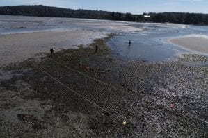
Critical work mapping seagrass beds on the Pacific West Coast continues uninterrupted this fall thanks to innovative thinking from the Citizen Science GIS team. The seagrass (also known as eelgrass) project is funded by a $1.3 million grant from the National Science Foundation and helps researchers to measure seagrass meadow dynamics over time. This data […]
-
Mobile Learning Lab Gets Fresh, Updated Exterior
A new mobile learning lab focused on geospatial technologies like maps, apps and drones just edged closer to its public debut with a brand new look. The GeoBus is the vision of Citizen Science GIS, an international research organization led by UCF researchers to enhance public knowledge and application of mapping with geographic information systems […]
-
National Geographic Selects State Steward from UCF
UCF Assistant Professor of Geographic Information Systems Timothy Hawthorne, Ph.D., has been named The Florida Geography Steward by National Geographic. As the Geography Steward for the state of Florida, Hawthorne will work with National Geographic staff, government staff, teachers, parents, business leaders and other stakeholders to enhance K-12 geography education and research in Florida and […]
-
Citizen Science GIS Team Unites Community Using Drones
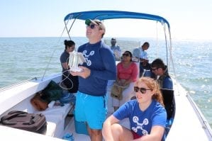
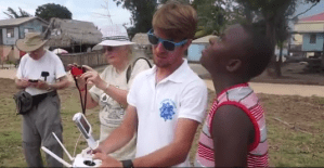
UCF’s Citizen Science GIS team has spent the last few years using drone technology to map the coastline and local island communities of Belize. Led by UCF’s assistant professor, Timothy L. Hawthorne, Ph.D., the Citizen Science GIS team aims to strengthen the connections between science and society through geographic information systems and drones. As an […]
-
Kids ‘Drone’ Up Interest in Citizen Science GIS
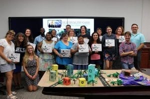
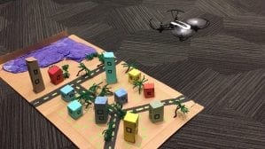
by Rachel Williams More than 350 4th-12th grade students, their teachers and parents Wednesday saw firsthand at UCF how apps, maps and drones are used in geographic information systems, an interdisciplinary field that captures, analyzes and presents geographic data in meaningful ways. Students flew mini drones over a model town to simulate how GIS professionals fly […]
-
Drone Research Hits New Heights
As the popularity of drones and geospatial technologies continues to rise, the Citizen Science GIS research team at University of Central Florida aims to train the next generation of community-minded scientists in the art and science of drone flights, image processing, open data sharing and spatial storytelling with drone imagery. The National Science Foundation has […]
-
Citizen Science GIS Team Awarded for Spatial Storytelling
By Zenaida Gonzalez Kotala Esri, a leader in spatial analytics, recognized a team from the University of Central Florida with its Special Achievement in GIS Award during the annual Esri User Conference last week. Citizen Science GIS, a collaborative effort led by UCF geographic information system Assistant Professor Tim Hawthorne, was among the 180 selected […]
-
Open Reef Drones Take on Environmental Conservation
Geographic information systems (GIS), and related geospatial technologies like drones, are being used to do wonders for our planet. With the growing issue of climate change and over-development, University of Central Florida researchers have taken the initiative to protect the areas with the greatest risks: islands and coastal areas. UCF Assistant Professor of GIS in […]
-
UCF Sociology Department Lands New NSF Project
UCF is launching two new summer Research Experiences for Undergraduate programs and continuing a third, thanks to new funding from the National Science Foundation. The programs are designed to encourage select students from around the country to pursue graduate studies and eventually become leaders in their chosen areas of expertise. Getting REUs is difficult because […]


