Landing Site Characterization
Get in touch: cannon@ucf.edu
CLASS can provide a full range of Lunar landing site selection and characterization to benefit a given set of mission requirements. Our capabilities include:
- Geologic surveying
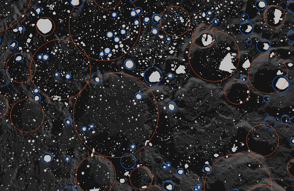
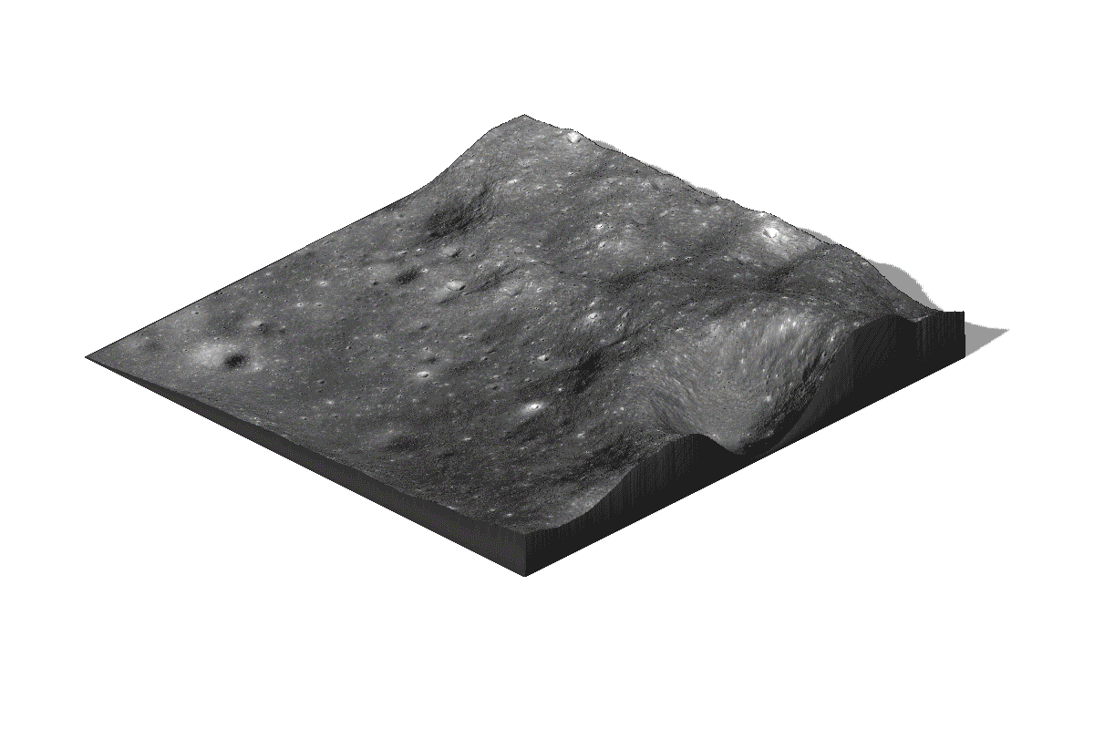
- Terrain analysis: topography, slopes, roughness, rock abundance
- Spectral data analysis: mineralogy, geochemistry
- Resource assessment
- Illumination conditions
All these can be combined in a GIS geodatabase, and output as display-quality graphics and animations.
So you want to land on the Moon. That’s great, but where? Icy permanently shadowed regions at the poles are an obvious target for ISRU, but equatorial sites may proves better operability. For human habitats, spelunking to take refuge in kilometer-wide buried lava tubes is also an option. CLASS has the personnel and expertise to help narrow down site selection and fully characterize potential landing sites on the Moon.
Additionally, the CLASS Planetary Landing Team has world class experience dealing with rocket plume and regolith interactions during landing, and knows how to work with NASA regulations designed to protect historic landing sites and existing hardware.
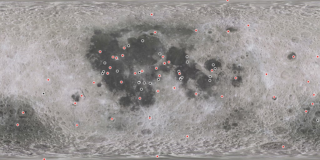
Landing Site Database
We maintain a database of all past successful and unsuccessful landing site locations, as well as sites that have been targeted for future exploration.
Permanently Shadowed Regions
There are ~13,000 km2 of Permanently Shadowed Regions (PSRs) at the north pole of the Moon, and ~16,000 km2 at the south pole. We are developing a geodatabase to bring together all relevant datasets of the polar regions, including topography, maximum daytime temperatures, hydrogen concentration from neutron data, and direct ice detections with M3 data.